Happy Tuesday! It’s been a wonderful and warm day so far. We will continue to have a risk for a spot shower through the evening, but we’ll be cool and clear overnight before a dry and warm Wednesday.
Evening temperatures will cool quickly from the 70s to the 60s with overnight lows tumbling into the mid to upper 50s.
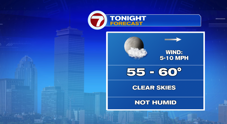
With clear skies and low humidity, that’s going to feel incredible! Give your A/C a break and sleep with the windows open.
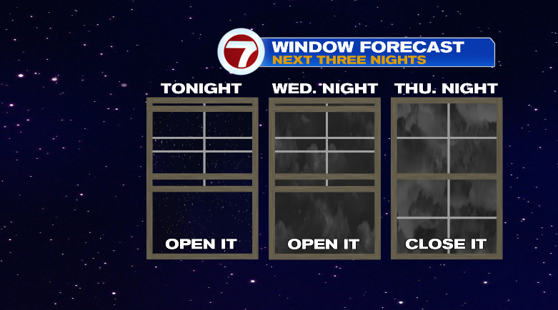
Wednesday morning will be cool and comfortable with highs in the low 80s.
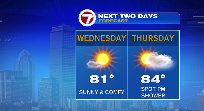
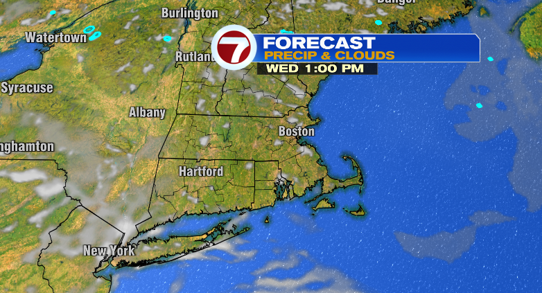
Skies look sunny all day with humidity staying low.
We’ve got changes on Thursday. First up? The humidity. We go back to dew points into the 60s which is sticky and uncomfortable.
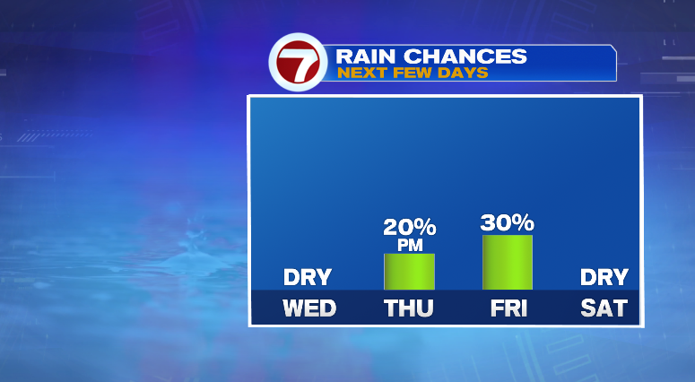
Skies look partly sunny with a chance for a spot shower in the afternoon. Thursday night rain chances return.
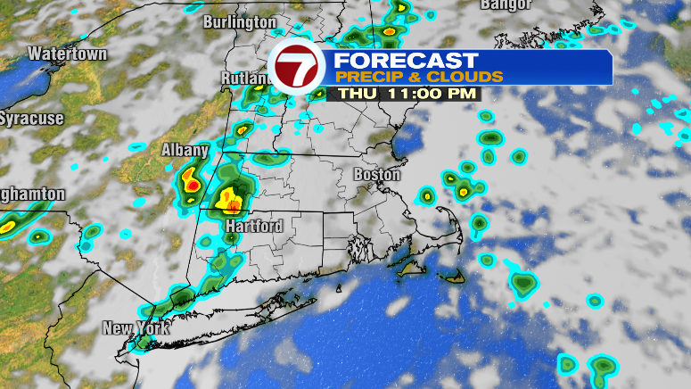
Friday the clouds will be around and it’ll feel incredibly humid. Like…Florida-level humidity! Dew points jump to near 70 with morning lows in the upper 60s and afternoon highs in the low 80s.
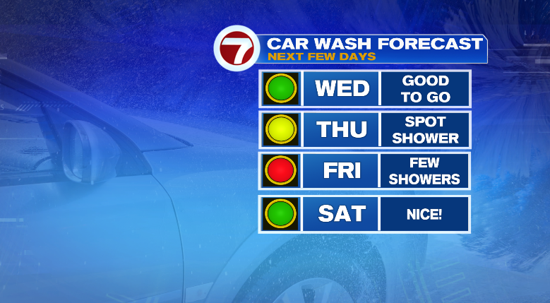
Thankfully…we dry out this weekend! In fact, the weekend looks spectacular. Highs on Saturday in the upper 70s (cooler at the coast) and mid 80s Sunday with both days seeing sun. Monday looks very warm! Upper 80s with a spot shower. Tuesday we’ll see the return of some rain chances. Stay tuned!
from Boston News, Weather, Sports | WHDH 7News
Source: https://ift.tt/Iv5YeP1
Comments
Post a Comment