Happy Saturday! The wildfire smoke and rain returned today, and we will likely see another round of storms tonight. Tomorrow will be better!
First, we’ve had our initial batch of rain but we’re expecting another round of rain and storms tonight. That line will push from the west to the east from 9/10 p.m. through 2 a.m. The greatest risk for severe storms with gusty winds or maybe even a weak spin-up tornado is farther west, but still, stay weather aware.
After those storms exit, we’re looking very nice. First, the wildfire smoke exits.
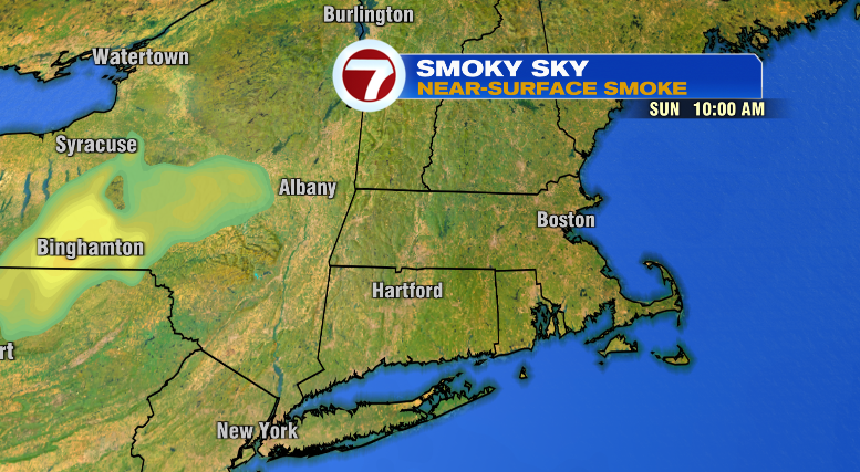
Clouds take a while to clear overnight so that will keep our temperatures pretty consistent in the 60s and 70s.
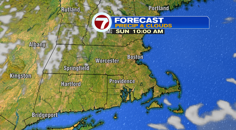
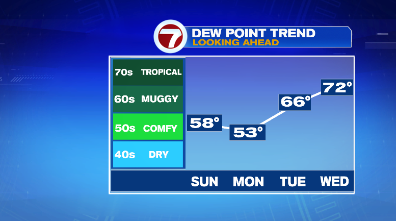
Tomorrow, the ample sun and blue skies will warm us nicely to the low 80s. The best part? No humidity!
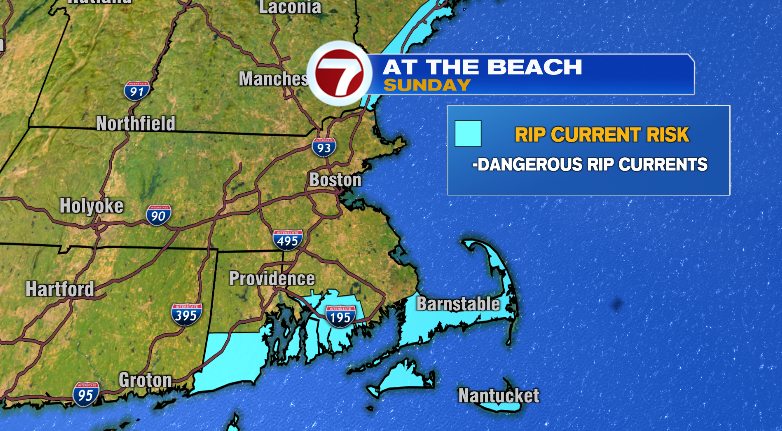
Beautiful day for the beach with the sun, but be careful for a rip current risk across the south shore and the Cape/islands. Heed any red flags.
Monday will be another stunner! Skies stay sunny, humidity stays low and highs will be nice in the low 80s after a cooler morning in the 50s and 60s.
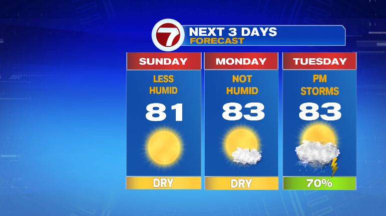
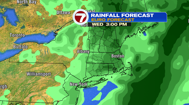
Changes come Tuesday. The humidity jumps again, highs will be in the low 80s and we have a chance for storms later in the afternoon. Those storm and rain chances continue through Wednesday with high humidity, cloudy skies and highs in the low 80s again.
Thursday, Friday and Saturday look drier in the low to mid 80s. Stay tuned!
from Boston News, Weather, Sports | WHDH 7News
Source: https://ift.tt/WC94Naj
Comments
Post a Comment