Happy Monday! Wow it was damp and chilly. Thankfully, the forecast looks mostly better as we look ahead this week.
First, there could be some spotty snow showers, maybe even some squalls, this afternoon and mainly tonight. These may drop additional spotty coatings, but that’s really about it. Evening temperatures will continue to hover in the 30s.
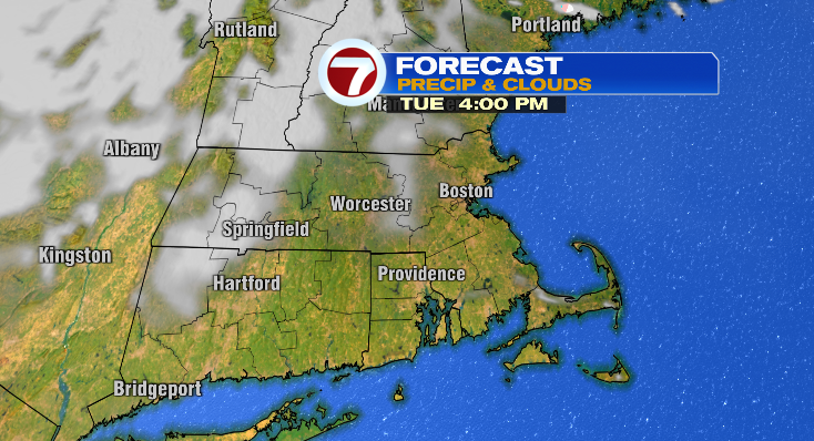
Tuesday will be noticeably nicer! We’ll have partly sunny skies. However, it’ll be a cold start. Many of us will wake up to the 20s, but the partial sunshine will help us warm into the low to mid 40s.
Wednesday will be primarily dry. There could be a spot shower, but most of the rain chances hold off until overnight into Thursday morning.
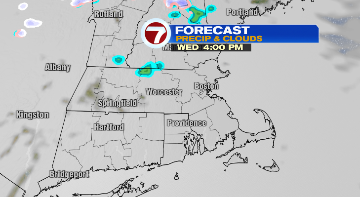
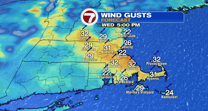
Wednesday will be cloudier and breezy with warmer highs into the low 50s after another cold morning in the upper 20s.
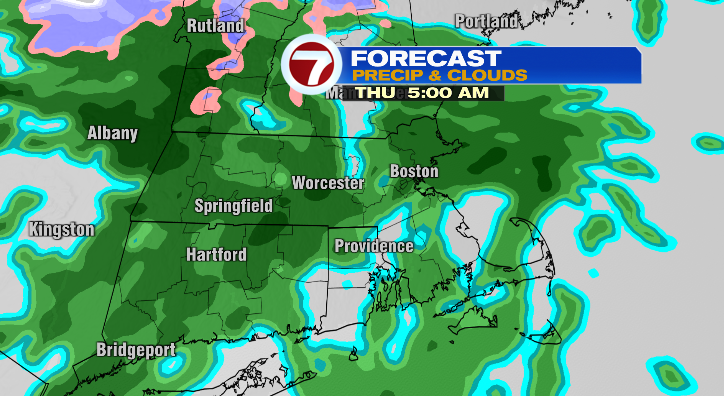
Thursday will feature some showers around in the morning and again in the evening. The morning won’t be as cold in the upper 30s with lovely afternoon highs into the low 60s. There will be a bit of a breeze at times again.
Friday morning there will be showers around with partial sun in the afternoon. The day will kick off in the low 40s with highs near 50 degrees.
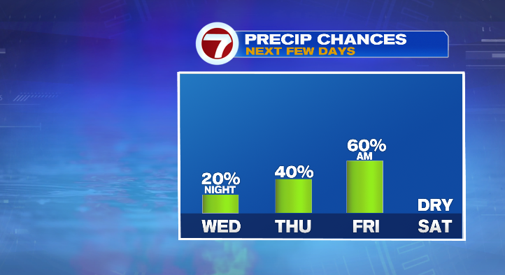
Saturday is going to be cold! We’ll get down to the upper teens and low 20s in the morning but won’t make it out of the 30s during the warmest part of the day. At least it looks dry. sunday is bright, cold in the morning with highs in the upper 40s. Monday, the sun continues with highs into the mid 50s.
from Boston News, Weather, Sports | WHDH 7News
Source: https://ift.tt/U8zfsd1
Comments
Post a Comment