The rest of your Monday will still be pleasant, but changes come soon.
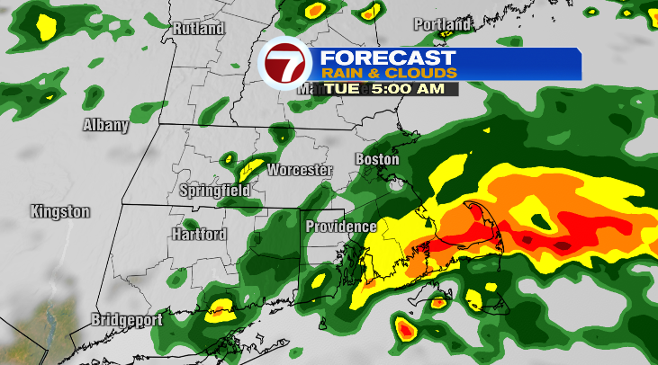
Evening temperatures will be in the 70s with overnight lows in the mid to upper 60s. Overnight, toward dawn, rain will push into our area. It will be heavy at times for the Cape and southeast coast.

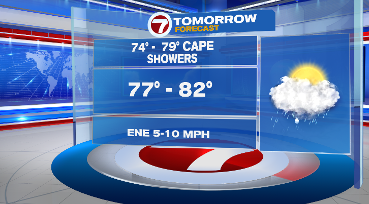
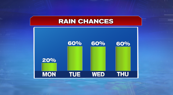
There will be scattered showers elsewhere, but the most widespread rain will be across the southeast early in the morning. For the mid morning: scattered showers, and for the afternoon: much more isolated rain chances. Highs will be cooler in the upper 70s and low 80s. Skies will be mostly cloudy and it’ll be oppressively humid with dew points in the 70s.

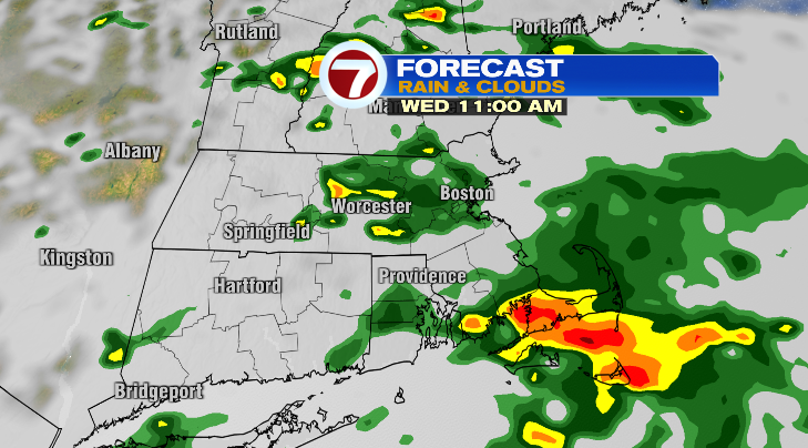
We do this all over again on Wednesday. Highs will be cooler again in the mid to upper 70s with mostly cloudy skies and showers and thunderstorms.

In fact, we keep the unsettled pattern for Thursday, too. We’ll have scattered showers and thunderstorms, it stays humid, and highs will be back into the mid 80s. With the humidity, that’ll feel like the upper 80s.

Friday looks generally drier with chances for just an isolated shower. Highs will reach the low to mid 80s. Saturday and Sunday look great: bright and warm in the mid to upper 80s. There will still be sticky levels of humidity, but it’ll be an improvement compared to Tuesday through Friday.
The start of next week is looking like a scorcher again.
from Boston News, Weather, Sports | WHDH 7News
Source: https://ift.tt/ocKzM4r
Comments
Post a Comment